Footsteps at Fort Alexandria

Furs, Spuds, Wheat, Turnips, Sheep and Cattle

Written by Heloise Dixon-Warren
Moose Meadows Farm, Bouchie Lake, BC

Notes from my Desk:

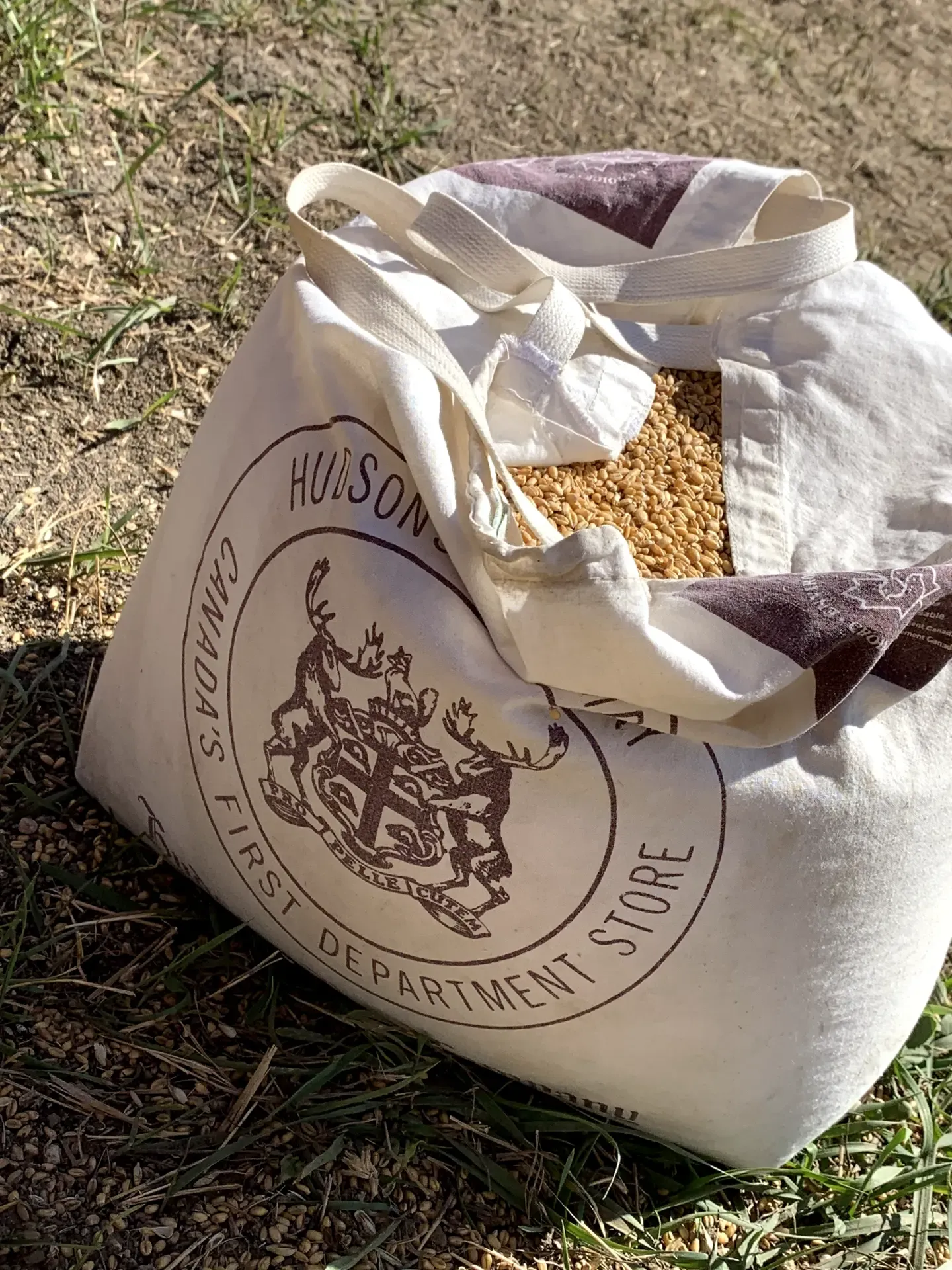
The research for this article required some reading and actual exploration.  I referenced books, met with people, reviewed documents and articles online, and visited “the Fort”; not just once but three times.   I wish to express my gratitude and thanks to a few key people that made this adventure enjoyable and informative.  Firstly, Ted Traer, my hubby, who is always so supportive and happy to travel the trails with me on these expeditions; Iver Gunderson for welcoming us to his home on the west side of the mighty Fraser and providing an amazing tour and sharing his stories of growing up on “Fort Alexandria”, Rusty Toews, who is now farming the land that Hudson Bay Company farmed on the east side of the Fraser and sent us home with a bag of “Fort Alexandria” wheat, and Elizabeth Hunter (curator at the Quesnel and District Museum and Archives) for providing photographs and reviewing the article.  During the time of visiting “the fort”, I tried to place myself back in time to see the land through a different lens -  when there were “bateau” boats on the Fraser loaded with provisions, there was a horse brigade travelling between Fort Alexandria and Fort Vancouver, and the fort was bustling.  While visiting “the fort”, I was amazed at the beauty of the land.  It truly is a Creator’s Country!  Stunning and beautiful in every way. I hope you enjoy this snippet of history and the photos that accompany it.  I am grateful for the opportunity to learn so much about early North Cariboo history.  (September 16, 2024)

Fort Alexandria and the Birth of Agriculture in the North Cariboo

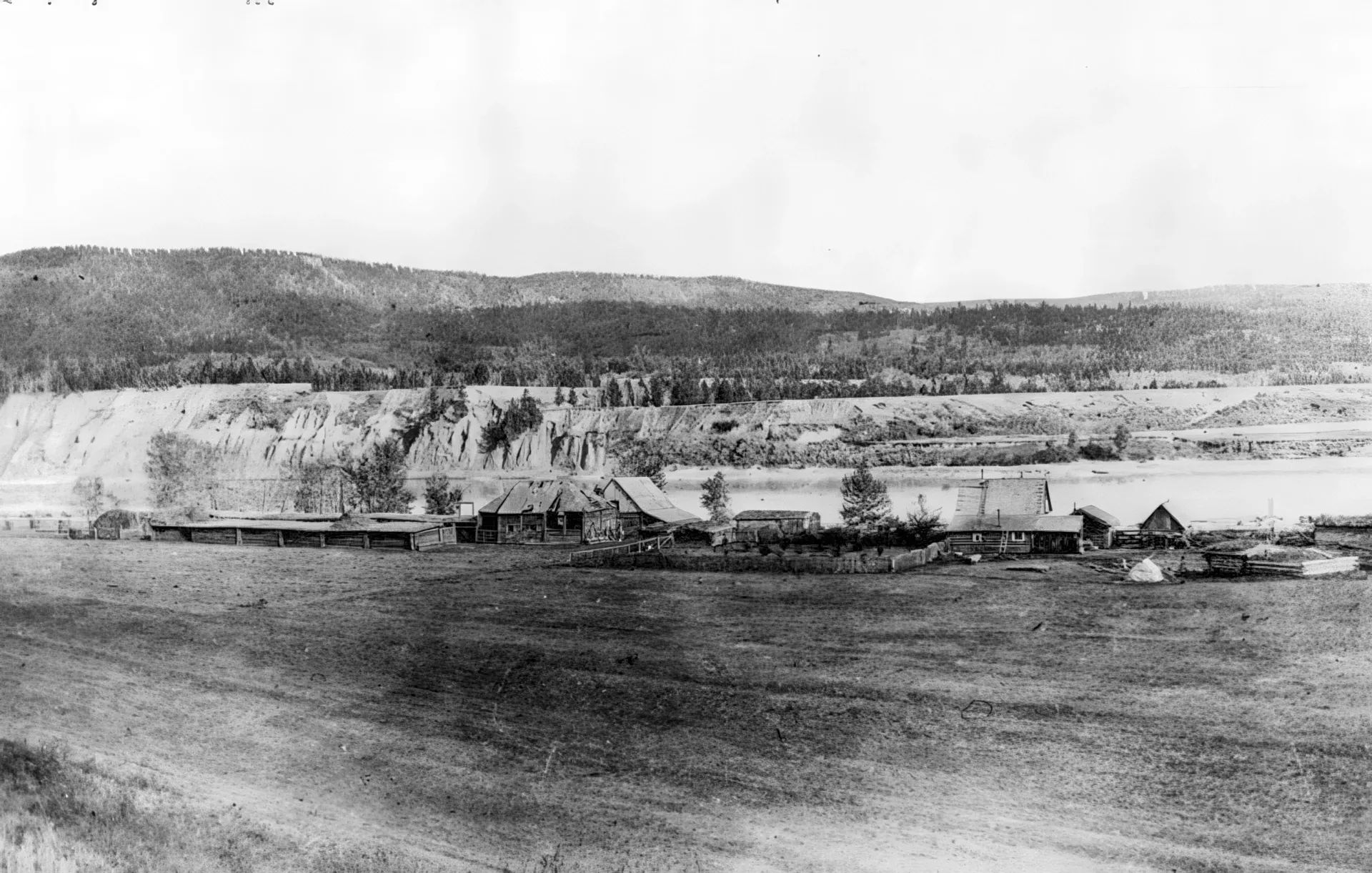
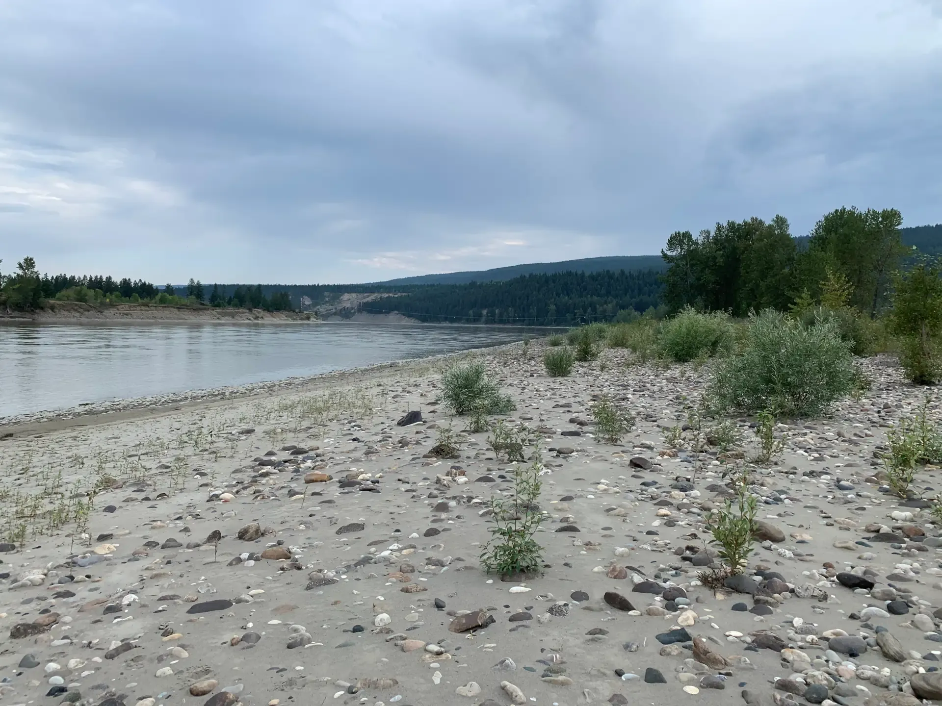
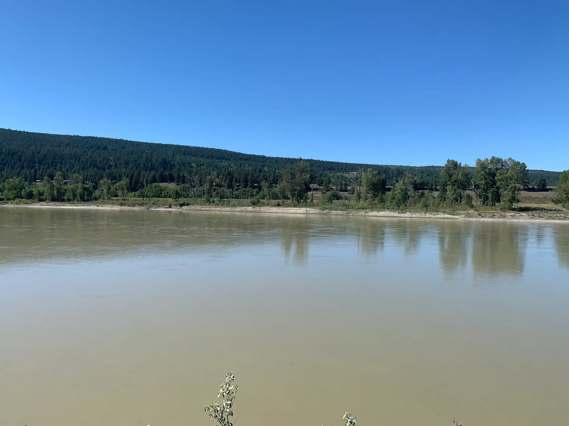
Agriculture in the North Cariboo, as we know it, began in 1814 with the establishment of a fur trading depot by the North West Company alongside the Fraser River.  Within a year, both oats and hay were being harvested.  In 1821 Fort Alexandria was established at the site by the North West Company.  The fort was located approximately 53 kilometres south of the confluence of the Quesnel River and Fraser River, and existed at times, on both the west and east side of the Fraser River.   The fort was established in the vicinity of what became District Lots 444, 445, and Indian Reserve #1 (Alexandria Band) of ?Esdilagh First Nation to facilitate the brigade of pack horses transporting baled furs, by overland route, south from Fort George to Fort Kamloops and beyond.  It was constructed near a Dakehl (Carrier) First Nation Village as First Nation peoples were foundational to the success of the fur trade.   The fort was named after Alexander MacKenzie (1763 - 1820) who was the first European to visit what became present-day Alexandria during his explorations in 1793 across Canada by land.   Fort Alexandria was the last post created before the North West Company merged with the Hudson’s Bay Company in 1821 and became the northern terminus for the company’s Pacific brigade trail.  Goods were transported up the Columbia River to Fort Okanagan and then sent overland by pack train to Fort Alexandria where they were sorted and distributed by water and pack animal to more northerly outposts of New Caledonia, located on the Fraser River, Nechako River, Fraser Lake, and Stuart lake. This process continued until road transportation supplanted the brigade in the 1860’s with the Cariboo Wagon Road. The fort was relocated to the west side of the Fraser River (DL46) in 1836  to simplify trade with First Nations but alternative accounts suggest the reasons were unstable river banks, the fort burning to the ground, and / or the need to access more arable ground for farming.

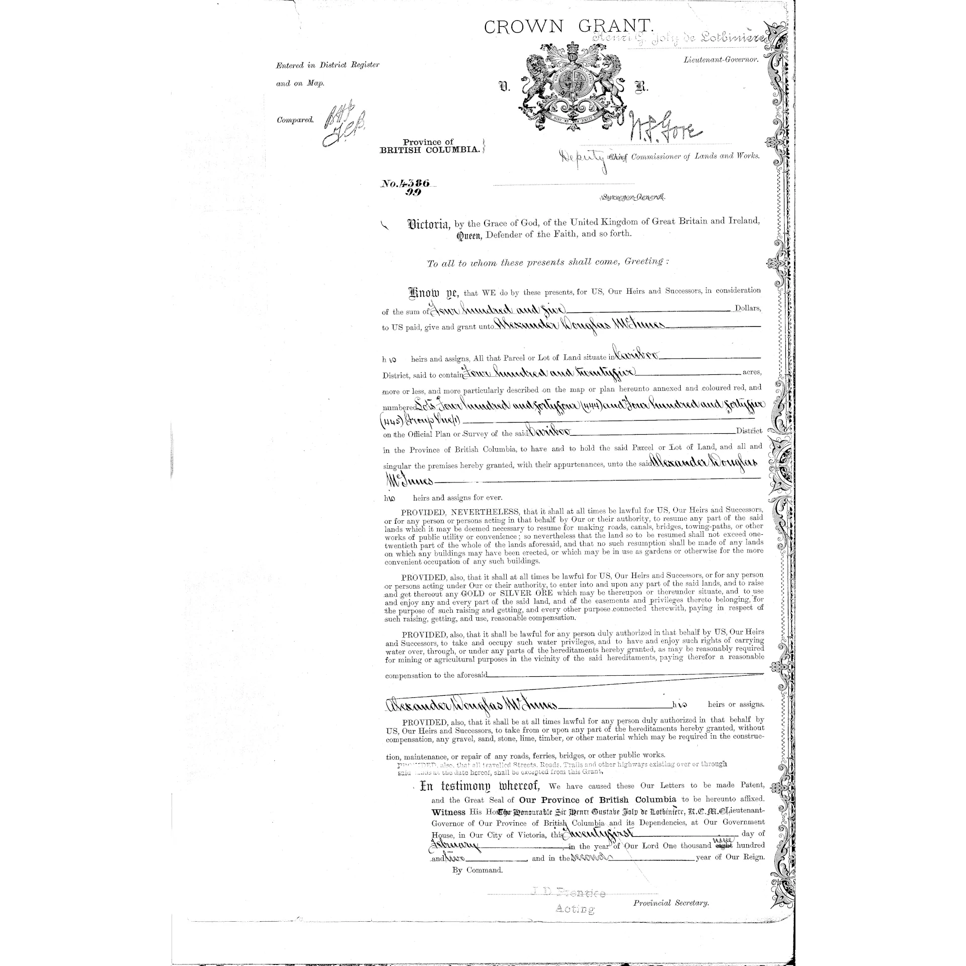
L444_L445_Alexander_Douglas_McInnes_21_02_1902_Crown_Grant-1920px-square.webp

A Crossroads of Commerce: Fort Alexandria’s National Historic Significance

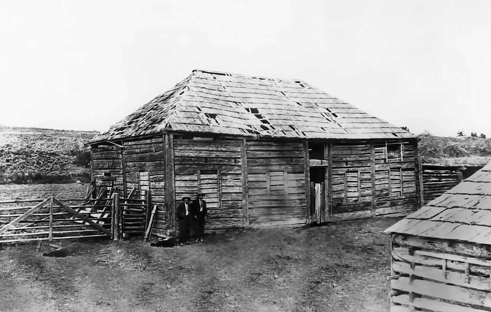
On the west side, a landing was constructed with the furs being transported across the river by canoe and then reloaded onto pack horses for transport to Fort Kamloops.  It remained on the west side as a trading hub until the gold rush reached the area.   When the bulk of the fur cargo was transported down-river by batteaux from Fort George, Fort Alexandria was relocated to the east side.  While nothing remains of the fort, the site on the west side of the Fraser River was designated as a National Historic Site of Canada in 1925 because of the following:

i) The fort is connected with the economic development of the country;

ii) The fort was the last post established by the NorthWest Company west of the Rocky Mountains;

iii) After 1826, it was the point of transfer of goods from the land to the water brigade to be distributed to the posts of New Caledonia until road transportation supplanted the brigade in the 1860’s

iv) - Indigenous Peoples, their territories, and labour were foundational to the fur trade in North America. Posts were often built near existing Indigenous settlements, trading routes and/or meeting places and became important sites of economic, social and cultural exchange.

P1958.41.1_wm-1920x1221px.webp Fort_Alexandra-1920pxw.webp

Sustaining the Fort: Wheat, Livestock, and Gardens at Fort Alexandria

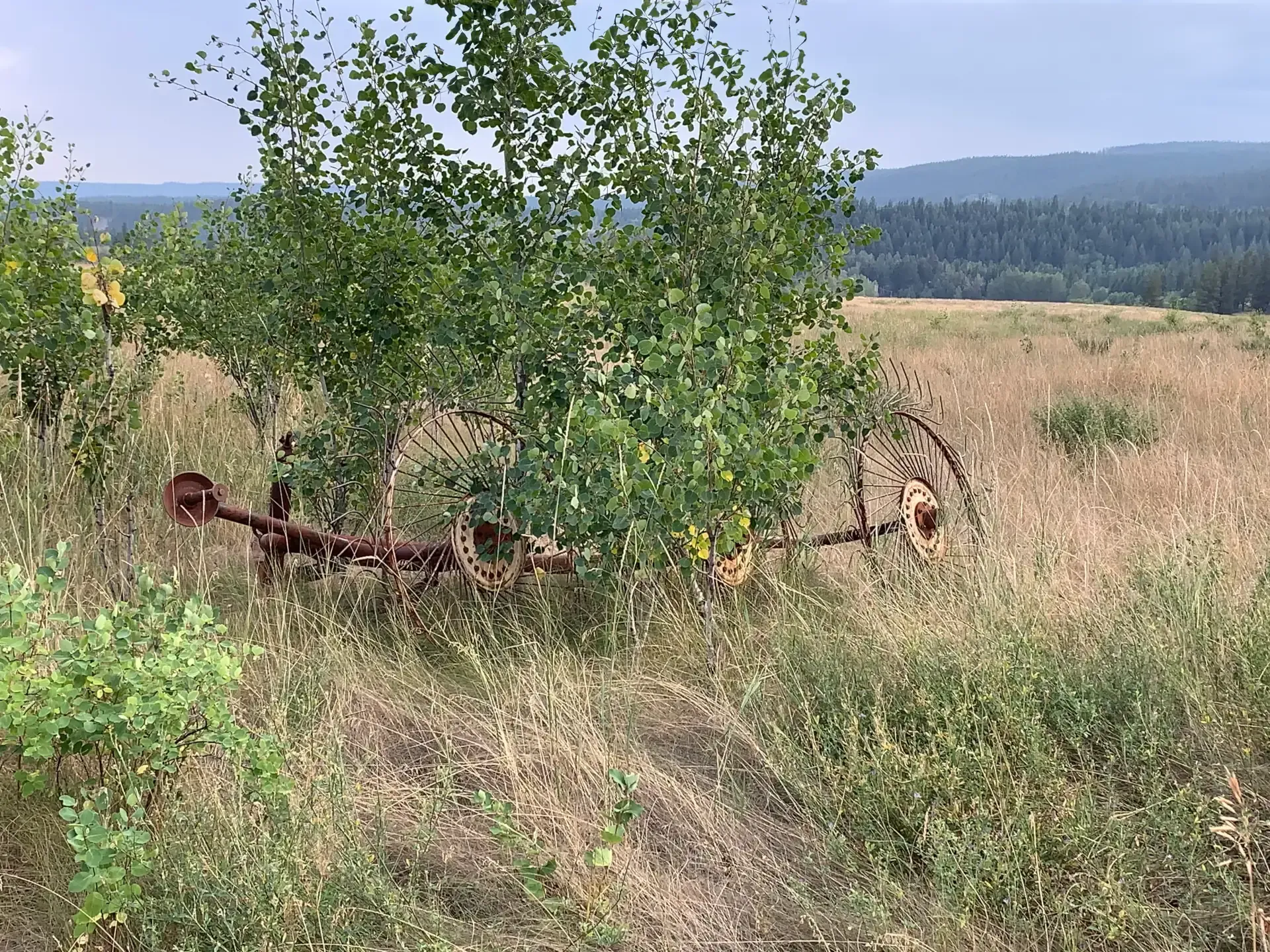
When one thinks of the forts during the time of the Hudson Bay Company,  one primarily thinks of the trading of fur and other provisions (e.g. cloth, blankets, firearms and ammunition, metal tools and brass kettles).  Farming and gardening was another necessary component of life at the forts as shipping food up the trail from places such as Fort Vancouver on the Columbia River was not a viable option.  In the spring, the work of the fur trade was replaced with farming.  Most forts had food gardens and undertook farming activities.  Some food gardens and farming initiatives were more successful than others and those at Fort Alexandria reaped a desirable harvest.  From the 1820’s onwards, the land surrounding Fort Alexandria was cultivated and produced many of the crops needed by the company and for trade.  This area of New Caledonia, in particular, proved to be an area where wheat could be grown.  The fort also operated a grist mill at Four Mile Creek, north of the Fort.  Between 1843 and 1848 alone 400 to 500 bushels of wheat were ground into flour, using horsepower to turn the eighteen-inch mill stones.  During its existence, the fort was also a site for cattle and sheep farming and the growing of root vegetables (swede turnips (rutabagas), cabbage, carrots, potatoes).  In the 1843 - 1844 year, it is said that the following was produced at the fort:  40 cartloads of barley, 12 cartloads of oats, 660 bushels of potatoes, and 300 kegs of turnips.  Dairy cattle arrived at the fort in 1930.  The fort was also a site used for overwintering brigade horses.  The fort was also one of four Roman Catholic missionary stations in New Caledonia; the others were Fort St. James, Fort George, and Fort Thompson.

L46_-_Site_of_Fort_Alexandria_looking_East-1920.webp Hay_Equipment_L46-1920.webp Looking_West_across_the_Fraser_River_at_L46-1920_.webp

From Fort to Farm: The Transformation of Fort Alexandria in the 19th Century

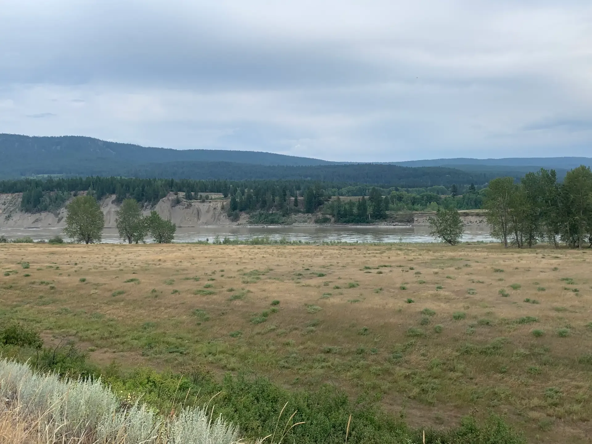
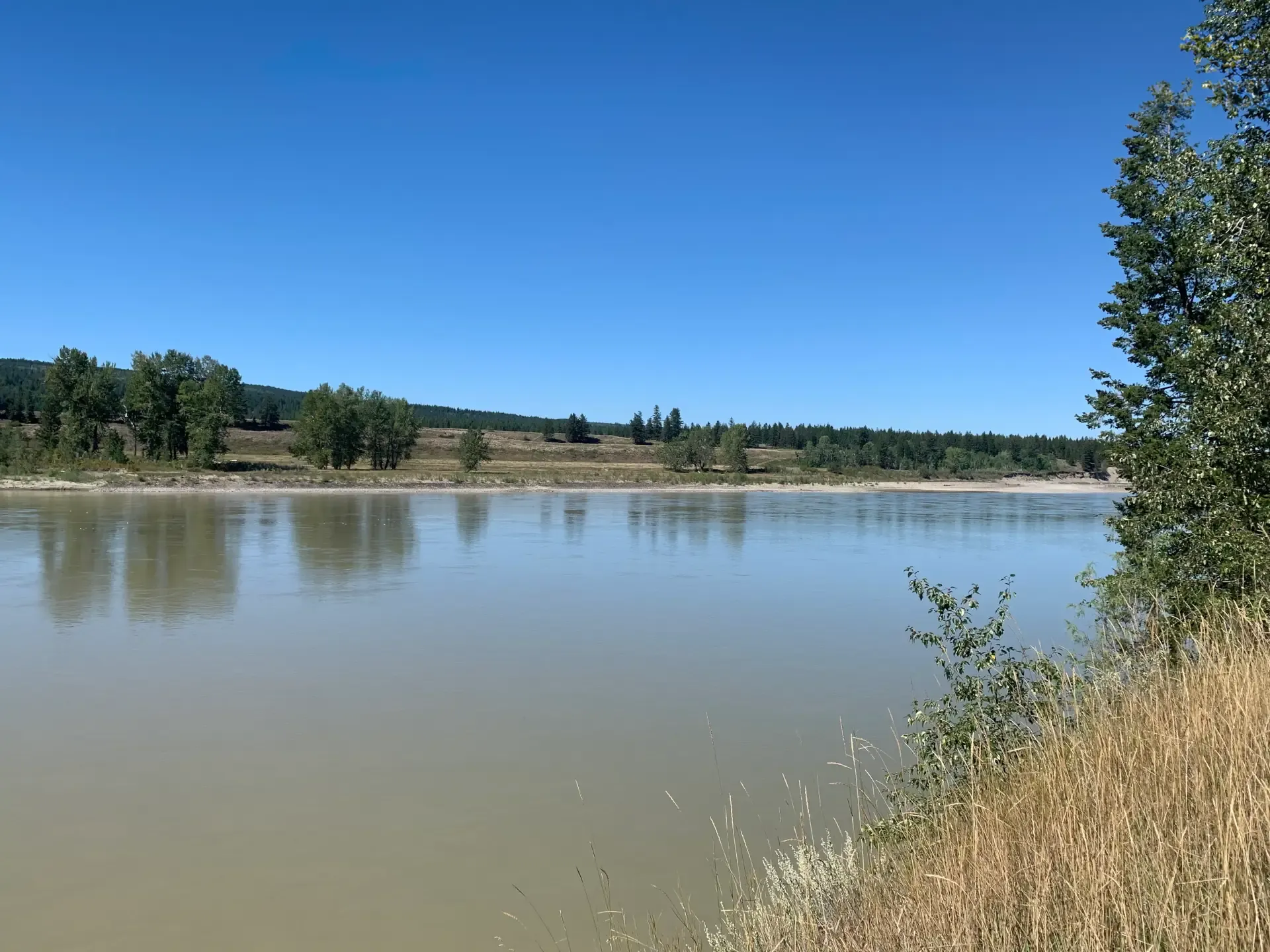
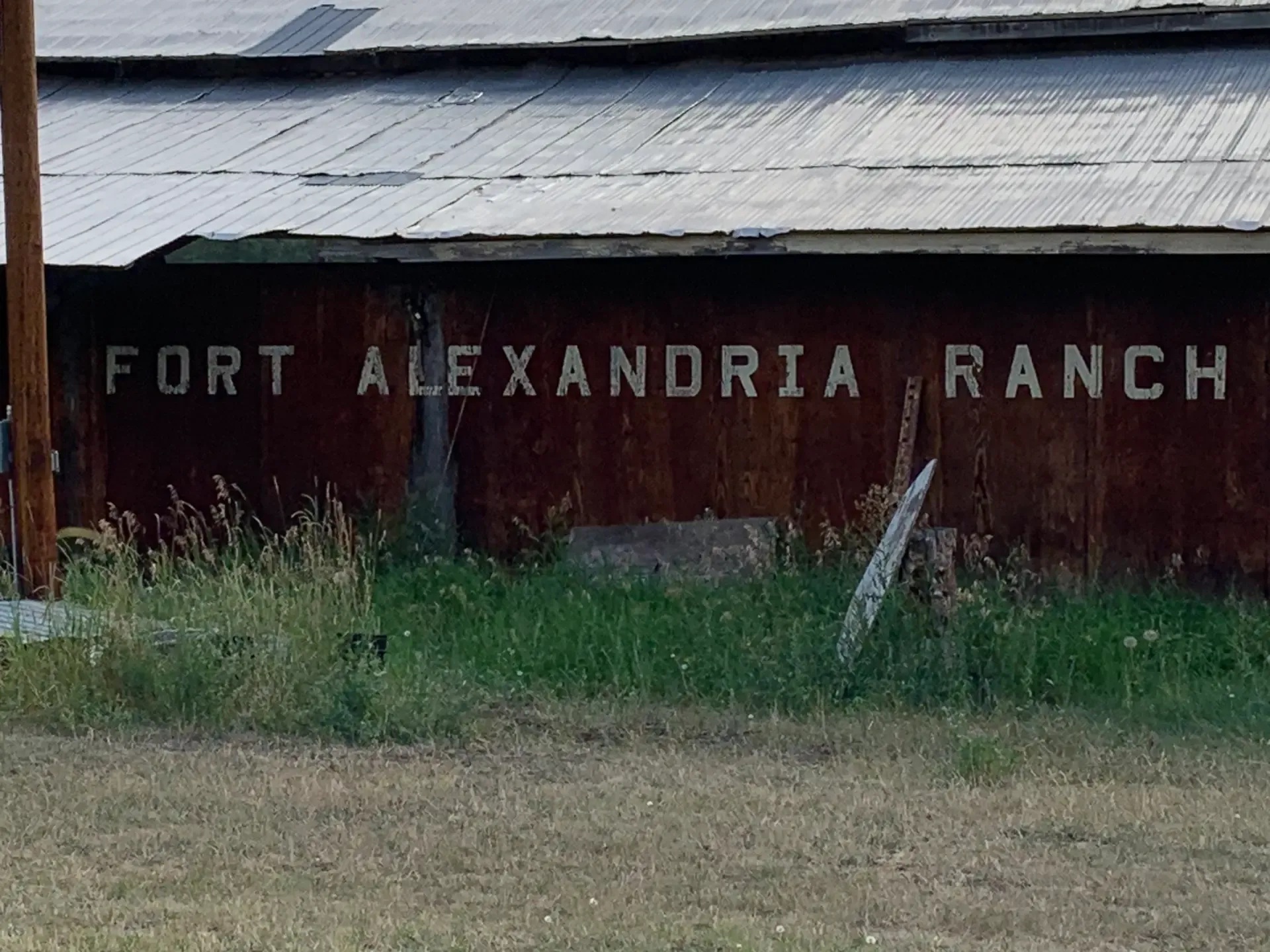
In the middle of the 19th century, gold was discovered in the Cariboo District and the Cariboo Wagon Road was completed to Alexandria in 1863. By 1867, Fort Alexandria on the west side of the Fraser River had become more of a farm than a trading post and was being operated by Hudson Bay Company employee James Twan and his family.  The fort supplied produce to the nearby community of Quesnel, as well as miners heading north to Barkerville. The Hudson’s Bay Company relinquished the property in 1881 and offered James a “Quit Claim” which enabled James to obtain a Crown Grant #32/257 for Lot 46 (dated December 1, 1910) for the 109.5 acres of the original Fort Site on the west side of the Fraser.   After Jame’s death in 1853, his Fort Alexandria born son, John Sanford Twan (1850 - 1946) acquired the property and he lived there with his wife, Rosalie Hunt (d. 1976) and 8 children.  Their life at the old fort was trading and farming. The family had a large garden, chickens, milk cows, pigs, geese and turkeys along with 150 head of sheep and cattle.  They continued to grow wheat and hauled it by team and wagon to the mill at Soda Creek to be ground into flour.   In 1915 the fort buildings were demolished and slowly the buildings were razed (knocked down) and used for firewood.  In 1967,  the Gunderson Family purchased L46 from the Exshaw family.  The land along the Fraser River is terraced.  The fort was located at the level of the river and to the west, there is the first of many terraces.  Upon that terrace, that would have been just above the fort and to the west, were the remains of a Village Site as there were pit house depressions still noticeable in the 1960’s.  During cultivating the land where the fort had originally existed, arrow heads were found as it is said that the arrows were shot into the fort buildings from above.  The Gunderson Family established “Fort Alexandria Ranch” and raised cattle, grew hay and had a Woodlot.  Today, L46 is part of the Alexandria 3 Reserve Land for ?Esdilagh First Nation as ownership was transferred from the Gunderson Family in the early 1980’s.  Members of the Gunderson Family still live in the area, operating Fort Alexandria Ranch.  Their primary agricultural crop is now hay.

  1. A quitclaim deed is used to sign over a property title to another person. When a person signs this deed it means they're giving up all rights and claim to a property.
Fort_Alexandria_Ranch.webp Fraser_River_-_west_side_along_L46.webp L46_looking_West_over_the_Fraser_River.webp L46.webp Looking_East_from_Fort_Alexandria_Ranch.webp
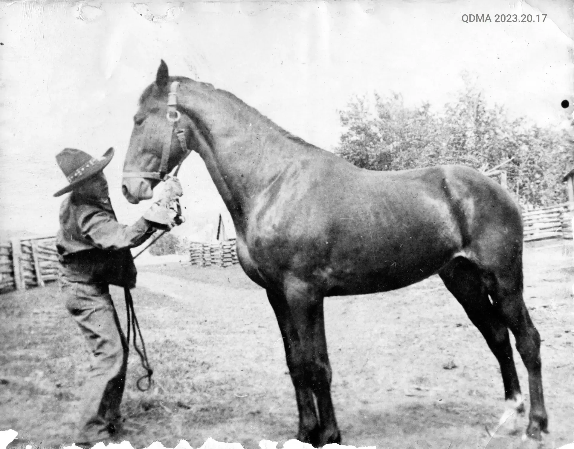
Charlie Twan on the Alexandria Homestead
Charlie Twan
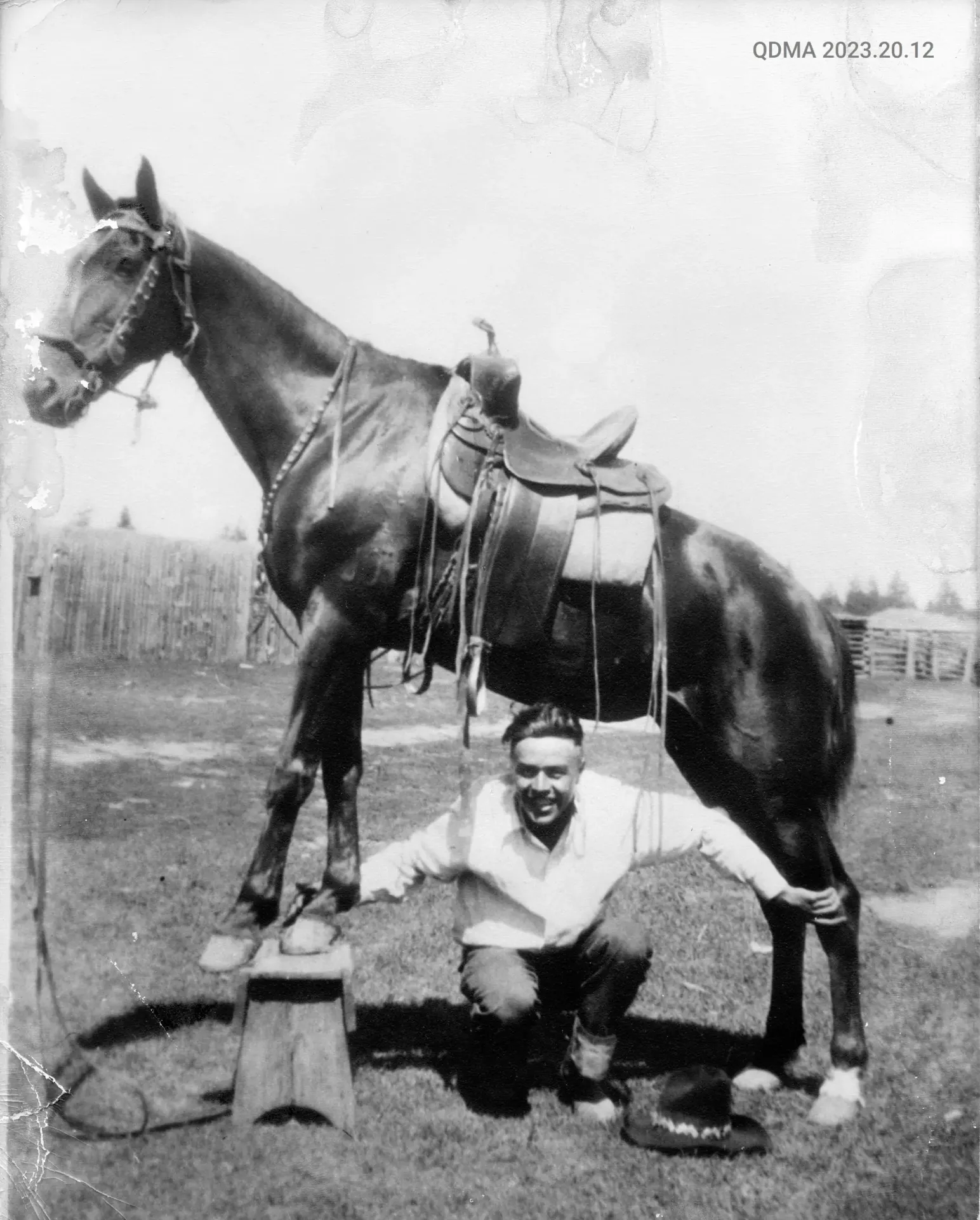
Bill Twan on the Homestead in Alexandria
Bill Twan

From Gold Seekers to Grain Growers: The Evolution of L444 and L445 at Alexandria Flats

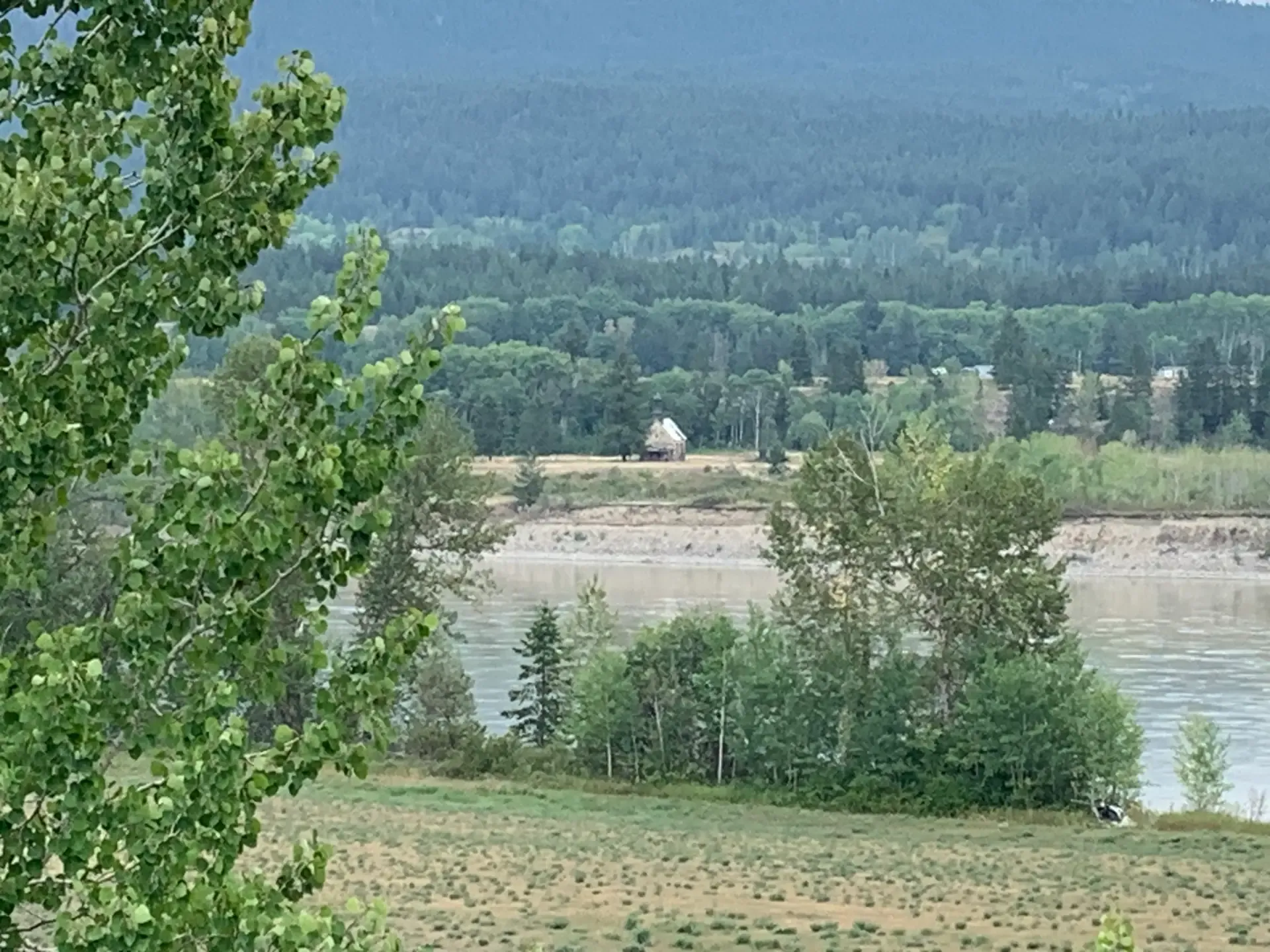
The land on the east side of the Fraser River  that became District Lots 444 and 445 were preempted by Baptiste Paquette, a former Hudson Bay Company employee.  Paquette sold the land in 1873 to Irish born Alexander Douglas McInnis.  The land was granted to McInnis as L444 and L445 under grant number 4386/99 on the 21st of February, 1902.  Alexander McInnis was one of the first group of miners to seek gold on Williams Creek in what became Barkerville.  In the early 1870’s Alexander and his wife Annie Huston McInnis moved to Fort Alexandria and took up farm land on Alexandria Flats that in earlier years had been farmed by the HBC.  The McInnes family operated a road house until the early 1940’s.  Today Highway 97 through the farm follows the same route of the original Cariboo Wagon Road.  The McInnes Road House was constructed on the same foot print as the original fur trading depot building from 1814. Both had rotted away by mid 1950’s.

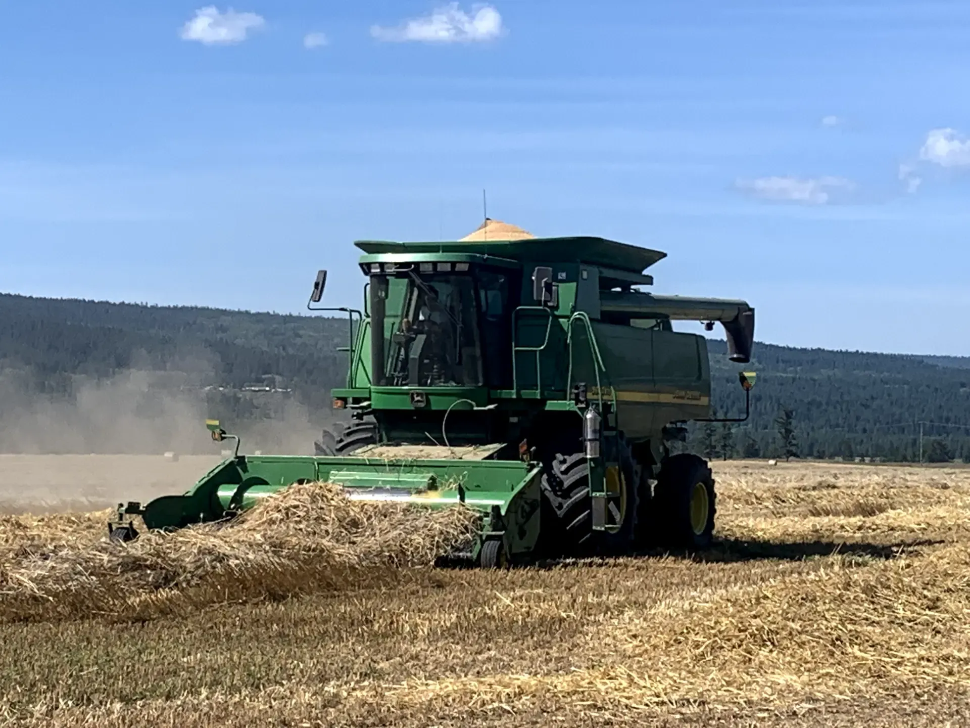
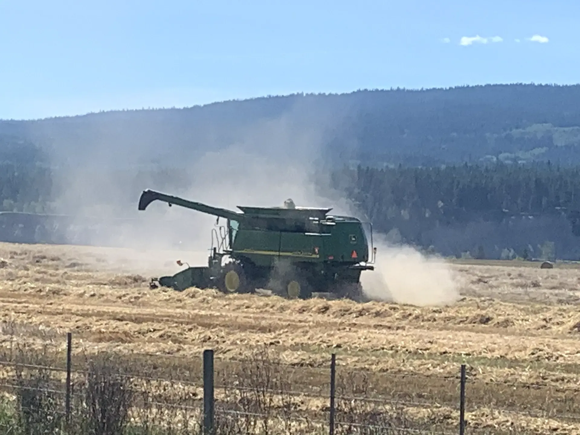
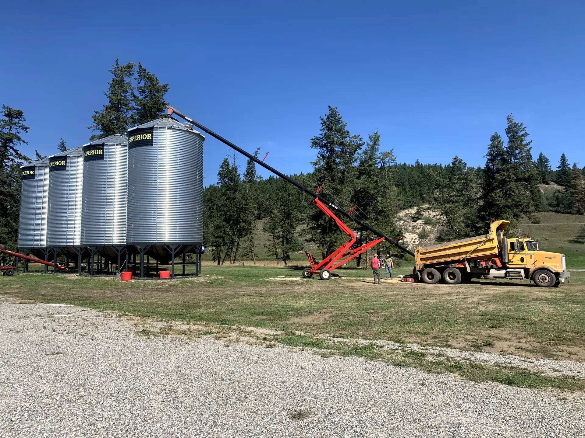
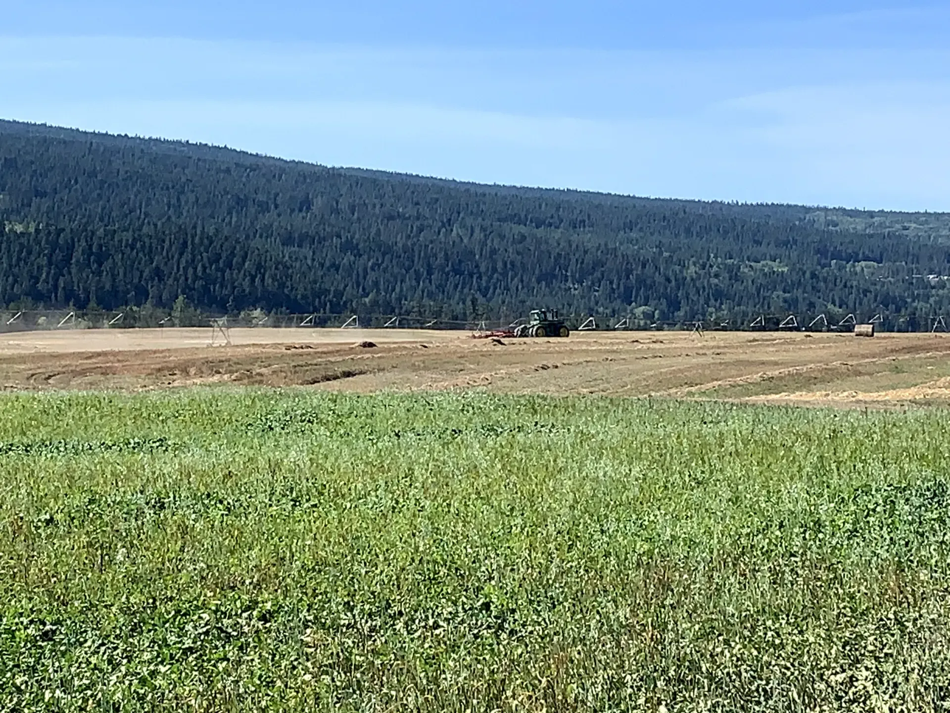
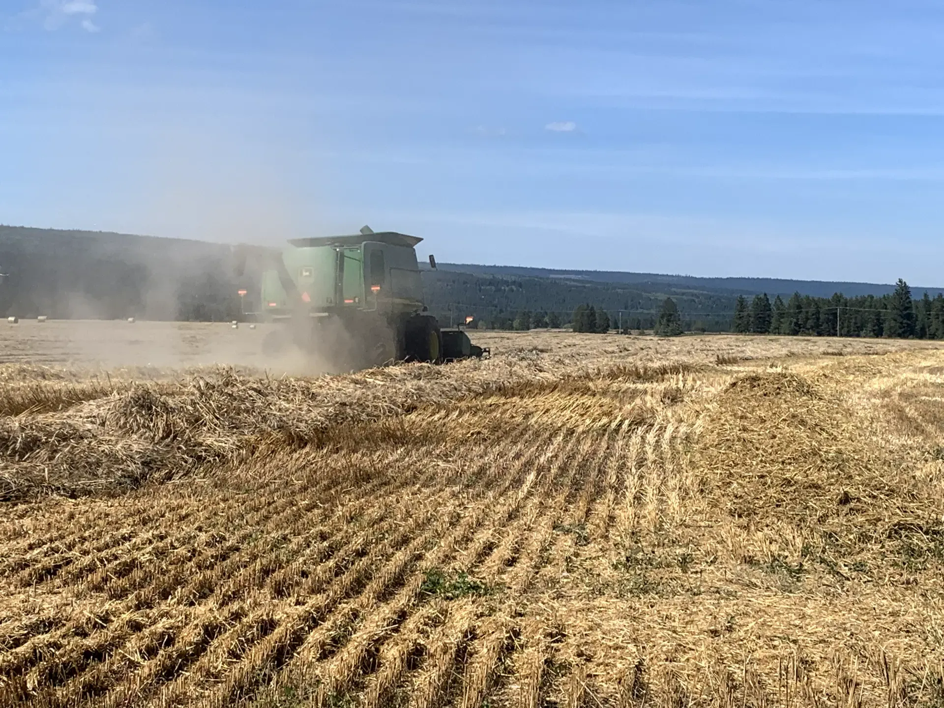
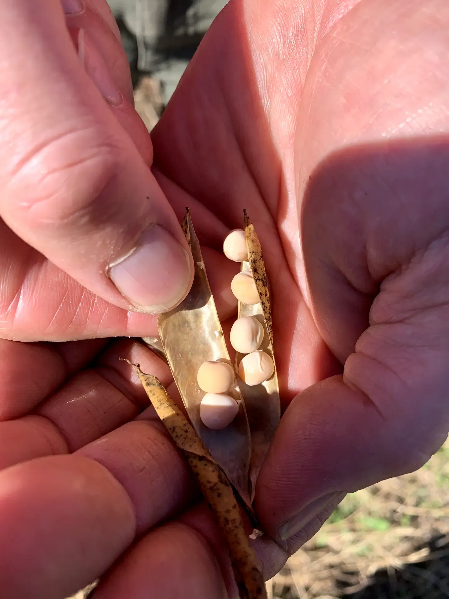
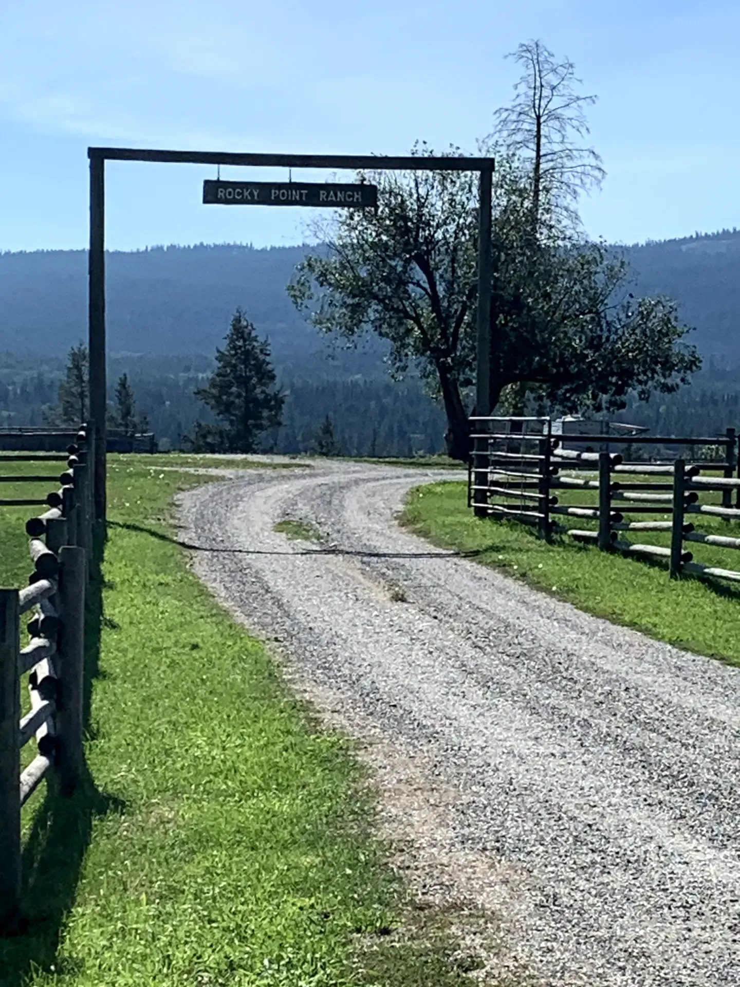
Today L444 and L445 is part of Rocky Point Ranch.  It was previously owned by the Gunderson Family and is now owned by the Reimers of Armstrong and is being farmed by Rusty Toews of Kersley.  Rusty moved to the area from Alberta and brought knowledge of growing grain with him.  The fields are a little bit of Canadian prairie!  Today the land is being used for organic wheat production along with peas and other crops such as straw which is a bi-product of growing wheat.  Water for irrigation is pumped from the Fraser River.  As an organic farm, Rocky Point Ranch uses cover crops to manage the weeds and ensure soil fertility.  The current cover crop being used is a combination of 15 different plant species.


Combine_-_Thrashing_Wheat_RPR.webp Rocky_Point_Ranch_L444_and_L445.webp RPR_transferring_wheat_to_the_Silos.webp RPR_Wheat_and_Cover_Crop_foreground.webp Wheat_Combine.webp

Bunchgrass Zone: The Ecological and Historical Legacy of Fort Alexandria

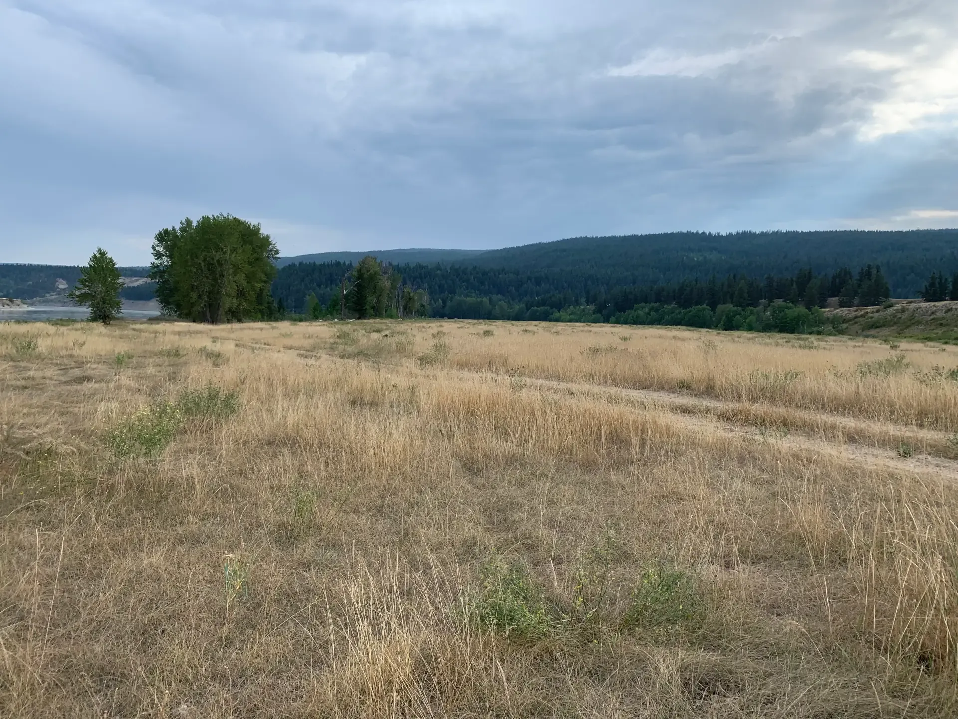
Much of the land upon which Fort Alexandria existed is within the biogeoclimatic zone as the Bunchgrass Zone.   This is one of the smallest ecological zones covering less than one percent of the Province of British Columbia.  For thousands of years, First Nations hunted, fished and gathered plants for food and medicinal purposes in the region.  During the fur trade, the Hudson Bay company relied on the bunchgrass to support fur brigades of hundreds of horses travelling from Fort Alexandria to the Columbia River and back.  It is no wonder that these areas have proven to be rich and suitable for agriculture and continue to be productive and valuable farmland.  To passersby travelling on Highway 97 or the West Fraser Road one would never know the stories these lands have to tell and /or the people that have walked on these lands before us and left no sign.  It is a privilege to have walked in the footprints of the Fort.

Peas_dried_in_the_Pod_RPR.webp Rocky_Point_Ranch_Cariboo_with_Bag_of_Wheat.webp Rocky_Point_Ranch_Hwy.webp

Sources

  1. Quesnel Observer Newspaper Archives
  2. A Tribute to the Past, 1985; Old Age Pensioners Organisation, Branch #77
  3. The Pathfinder - A.C. Anderson’s Journeys in the West, 2011; Nancy Margeurite Anderson
  4. Trails to Gold, Volume 2 Roadhouses of the Cariboo; 1996 Branwen Patenaude